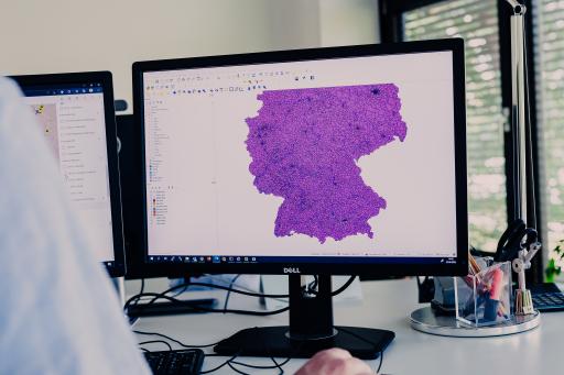
The choice between ArcGIS and QGIS leaves many companies spoiled for choice. To support you in your decision-making, the GIS and geomarketing provider WIGeoGIS has carried out a large comparison test of the two systems. WIGeoGIS has been working with both systems for decades and has also developed extensions for the tools. So who better to compare the strengths and weaknesses of the two solutions?
What are ArcGIS and QGIS?
Let’s first clarify the basics: ArcGIS is a commercial GIS system from Esri that is characterized by extensive analysis, visualization and processing options. It is often used in companies and authorities, but entails license costs in the four-digit range per user. QGIS is an open source GIS system that is available free of charge and scores with its flexibility and adaptability. It is particularly suitable for cost-effective and tailor-made GIS solutions.
Costs: The point clearly goes to QGIS
A key difference between the two systems is the cost. While ArcGIS has high license fees per user, QGIS is completely free. “This makes the open source desktop GIS particularly attractive for companies that want to serve many users”
says Andreas Marth, GIS expert and GIS developer from WIGeoGIS.
Ease of use: Scalability makes the difference
QIS can also score points here. Because: “QGIS is optimized for ease of use. You can set it up so that only the functions you need are displayed, which makes it easier for many users to get started. ArcGIS does not offer comparable scalability”
says Andreas Marth. QGIS can therefore be customized and offers the option of only displaying relevant functions. This makes getting started and operating it much easier. Getting started with ArcGIS, on the other hand, is difficult due to the lack of flexibility in the system.
Technology and functionality
When it comes to technology and functionality, we look at data formats and the possibilities for visualization and integration.
- Data formats: QGIS supports a wider range of formats than ArcGIS. It can easily interact with PostGIS databases, while ArcGIS has limitations here. PostGIS databases are leaders in the GIS sector.
- Visualization: Both systems offer comprehensive options for 2D and 3D representations. In practice, they are almost equivalent in this area.
- Integration: QGIS impresses with its open architecture and broad compatibility with WebGIS applications. ArcGIS, on the other hand, is more integrated into Esri’s own ecosystem.
Security and privacy
QGIS and ArcGIS score points with the ability to store data locally. ArcGIS also has cloud services, and so data can be uploaded to the cloud. This may raise questions of confidentiality and data protection for some companies and organizations.
Long-term development
“The QGIS community is active worldwide and contributes significantly to development through plugins and updates. There are regular releases, which is remarkable for an open source project. The probability that QGIS will continue to exist and be further developed is therefore very, very high.”
Andreas Marth assesses the situation.
This means that the open source GIS QGIS should have just as future-proof, long-term planning security as the commercial system ArcGIS.
Complete comparison including table
Is QGIS a good alternative to ArcGIS? For Andreas Marth there is a clear answer. This read here. There you will also find a detailed system comparison and a table that compares all the crucial criteria.
